UN
3 Ash Grove
£ 254,000
Description
We don't have a Description for this property.
- Bedrooms
- 4
- Bathrooms
- 0
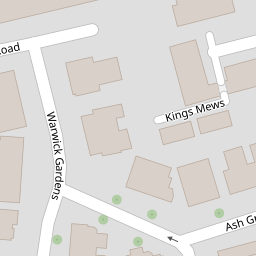
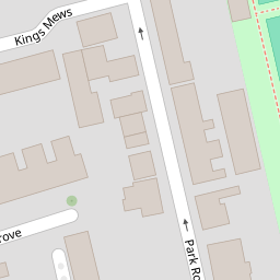

Leaflet © OpenStreetMap contributors
The heatmap indicates the level of crime in the area. The color of the heatmap indicates the crime severity and recency.
Metrics Year-on-Year
- Average area value
- 259,400.00 £Increased by 9.99 %
- Average area rental value
- 1,196.00 £/moIncreased by 4.55 %
- Est rental Yield
- 5.53 %Decreased by 4.98 %
- Crime Rate
- 10.00 %Unchanged by 0.00 %
from 235,841.00 £
from 1,144.00 £/mo
from 5.82 %
from 10.00 %
Nearby Schools
| Name | Type | Ofsted | Distance |
|---|---|---|---|
| Seadown School | Other Independent Special School | Inadequate | 0.49 KM |
| Educate U | Other Independent School | 0.64 KM | |
| Chesswood Junior School | Community School | Good | 0.81 KM |
| Springfield Infant School And Nursery | Community School | Good | 0.98 KM |
| St Andrew'S Cofe High School | Voluntary Aided School | Requires improvement | 1.03 KM |
Images
Nearby Streets
| Name | Average Price | Average Sqft | Distance |
|---|---|---|---|
| Park Road | £ 342,083 | 0 | 0.00 KM |
| High Street | £ 220,000 | 0 | 0.00 KM |
| Merton Road | £ 850,000 | 0 | 0.00 KM |
| Stanley Road | £ 0 | 0 | 0.00 KM |
| Merton Terrace | £ 0 | 0 | 0.00 KM |
Nearby Transport
| Name | NLC | TLC | Distance |
|---|---|---|---|
| Worthing | 5279 | WRH | 1.34 KM |
| East Worthing | 5283 | EWR | 1.50 KM |
| West Worthing | 5278 | WWO | 3.11 KM |
| Lancing | 5275 | LAC | 4.92 KM |
| Durrington-On-Sea | 5282 | DUR | 5.12 KM |
Nearby Listings
| Address | Price | Type | Score | Distance |
|---|---|---|---|---|
| Kings Hall, Park Road, Worthing, West Sussex, BN11 | £ 100,000 | BUY | 7 / 10 | 0.08 KM |
| Park Road, Worthing, BN11 | £ 120,000 | BUY | 7 / 10 | 0.08 KM |
| Warwick Place, Worthing | £ 500,000 | BUY | 6 / 10 | 0.08 KM |
| Park Road, Worthing, West Sussex | £ 110,000 | BUY | 5 / 10 | 0.09 KM |
| Park Road, Worthing | £ 120,000 | BUY | 5 / 10 | 0.10 KM |
Nearby Properties
| Address | Price | Distance |
|---|---|---|
| 7 Ash Grove | £ 375,000 | 0.00 KM |
| 5 Ash Grove | £ 345,000 | 0.00 KM |
| 11a Ash Grove | £ 177,500 | 0.00 KM |
| 3 Ash Grove | £ 254,000 | 0.00 KM |
| 9 Ash Grove | £ 350,000 | 0.00 KM |